We build
geospatial
solutions.
Eco Rising Solutions harnesses satellite, drone, and field sensors to deliver advanced climate intelligence tools for decision-makers.
Our Services

Urban Climate Intelligence & Resilience Modeling
We deliver satellite-, UAV-, and AI-driven urban climate analytics to help cities, transit agencies, utilities, and planners understand, model, and manage climate and weather-related risks affecting people, infrastructure, and operations.
Read More
Selected Applications
- Digital twin, Urban climate modeling, including temperature, humidity, and thermal comfort patterns
- Neighborhood-scale assessment of climate exposure and environmental stressors
- Climate and weather impacts on transit systems and underground infrastructure
- High-resolution spatiotemporal downscaling of meteorological variables
- Analysis of pedestrian and population exposure to extreme weather conditions
- Evaluation of adaptation, mitigation, and resilience strategies under current and future climates
Representative Uses
Urban resilience planning, transit and infrastructure climate assessments, weather-related risk analysis, and decision support for climate-informed policy and operations.
Water Quality, Quantity & Aquatic Systems Monitoring
We deliver advanced remote sensing and geospatial analytics to monitor inland and coastal water systems, supporting water resource management, environmental protection, and climate resilience.
Read More
Selected Applications
- Lake and reservoir water quality assessment, including harmful algal blooms (HABs)
- Surface water extent, variability, and long-term change analysis
- Watershed-scale water quantity monitoring and trend detection
- Floodplain dynamics, inundation mapping, and post-event assessment
- Climate impacts on freshwater and coastal aquatic systems
Representative Uses
Lakes and reservoirs monitoring, HAB early warning, flood risk assessment, climate-driven water availability studies.

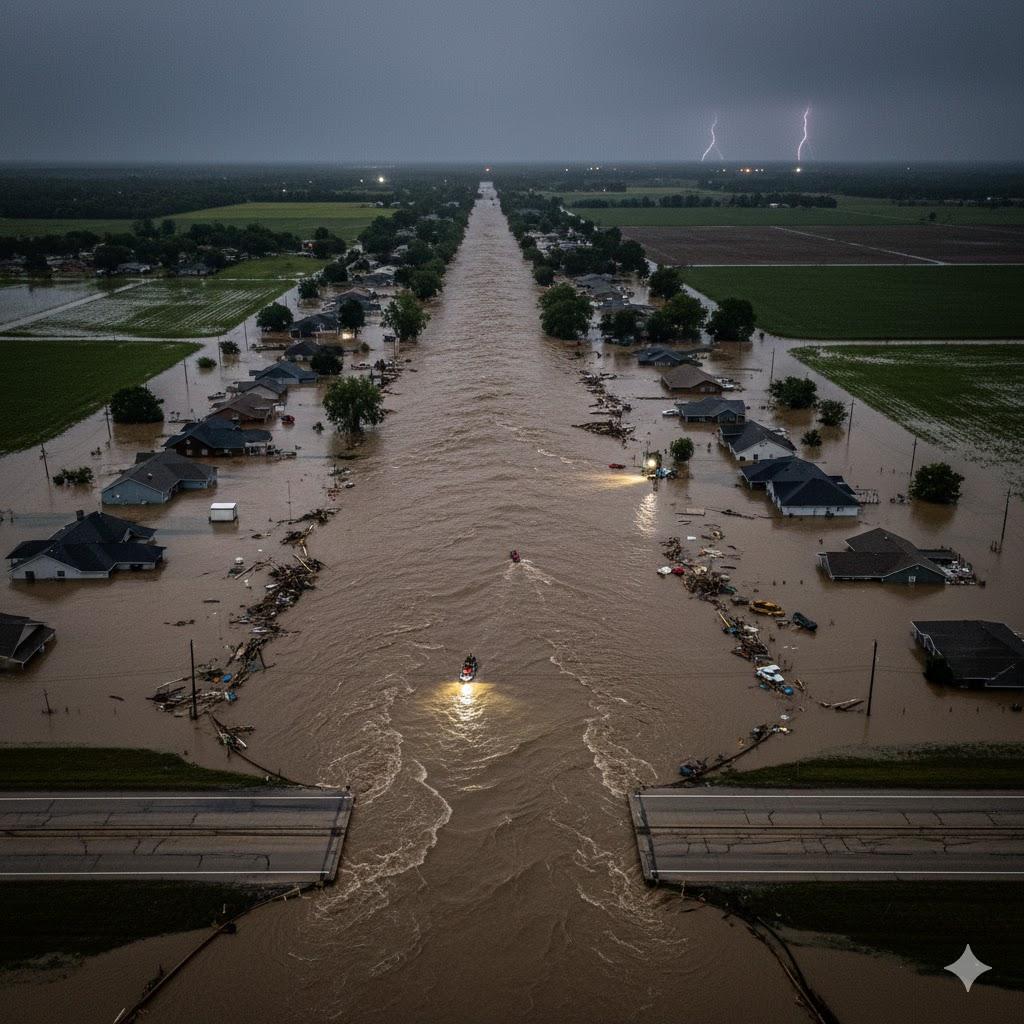
Flood Risk, Dams & Sediment Dynamics
We support infrastructure owners and public agencies with data-driven analysis of flood behavior, sediment transport, and dam-related risks in data-sparse and complex environments.
Read More
Selected Applications
- Flood hazard mapping using multi-spectral and hyperspectral imageries from satellite, drones, and terrain data
- Sediment source identification and transport analysis
- Dam and reservoir sedimentation studies
- Watershed response to extreme rainfall and climate variability
- Risk screening for critical water and flood control infrastructure
Representative Uses
Dam and reservoir assessments, sediment management studies, regional flood risk evaluations.
Geospatial Solutions for Civil & Infrastructure Systems
We apply high-resolution Earth observation and spatial analytics to civil, transportation, and energy systems, enabling better planning, design, and resilience decisions.
Read More
Selected Applications
- Environmental and climate analysis for transportation and transit systems
- Infrastructure exposure and vulnerability assessment
- Urban and regional spatial modeling for planning and engineering
- Climate-informed infrastructure performance evaluation
- Decision-support analytics for public agencies and utilities
Representative Uses
Transit system studies, infrastructure resilience planning, engineering support analytics.


Web-Based GIS Platforms & Advanced Spatial Analytics
We design and deploy interactive, web-based GIS platforms that turn complex geospatial data into accessible insights for planners, engineers, and decision-makers.
Read More
Selected Applications
- Interactive dashboards for climate, water, and infrastructure monitoring
- Web-based mapping and analytics for public and private users
- Integration of satellite, sensor, and model outputs into unified platforms
- Scalable cloud-based geospatial data processing pipelines
- Custom decision-support tools for operational and policy use
Representative Uses
Agency dashboards, city and regional monitoring platforms, client-facing analytics tools.