Our Services
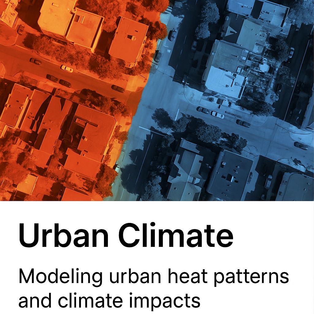
Urban Climate & Infrastructure
High-resolution urban climate analysis and infrastructure monitoring using satellite and drone-based remote sensing. AI-enhanced digital twin technologies provide insights for resilient planning and sustainable urban development.
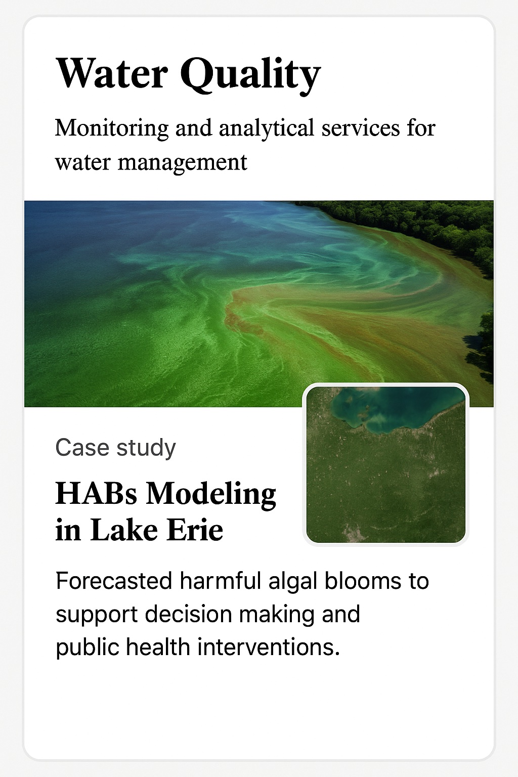
Water Quantity & Quality Monitoring
Tracking hydrological changes and modeling harmful algal blooms (HABs) with remote sensing, field data, and AI. Tools support water agencies with insights for lake health and sustainability.
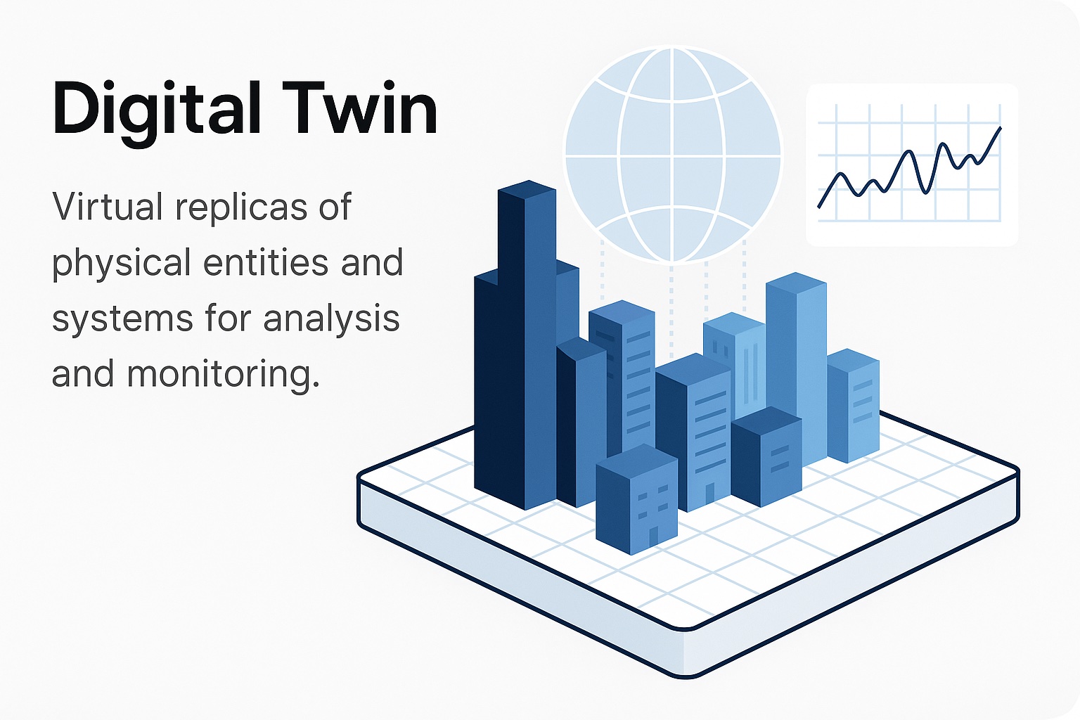
Digital Twin & AI Analytics
Simulate complex systems by fusing sensor, satellite, and drone data. Deliver predictive models and smart infrastructure tools for forecasting.
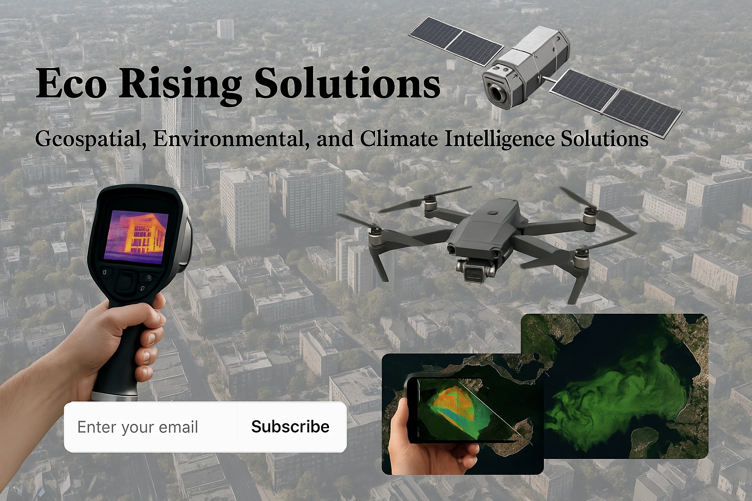
Remote Sensing Technologies
High-resolution drone imagery and satellite data for mapping, change detection, vegetation monitoring, and land-use planning.